






Researchers at the Environmental Change Institute (ECI), at the University of Oxford, have helped create the first comprehensive, open-access digital database mapping transport systems across the entire African continent.
Published in Scientific Data, the African Transport Systems Database (AfTS-Db) brings together roads, railways, airports, seaports and inland waterways into a single, connected, geospatial resource. The database is designed to support transport planning, climate resilience assessments and development research across Africa.
Transport data across the continent are often fragmented, inconsistent or difficult to access, making it challenging for governments, planners and researchers to understand how people and goods move — and how transport systems might fail under pressure from climate change, rapid urbanisation or extreme weather. AfTS-Db addresses this gap by standardising and integrating data across all major transport modes and countries.
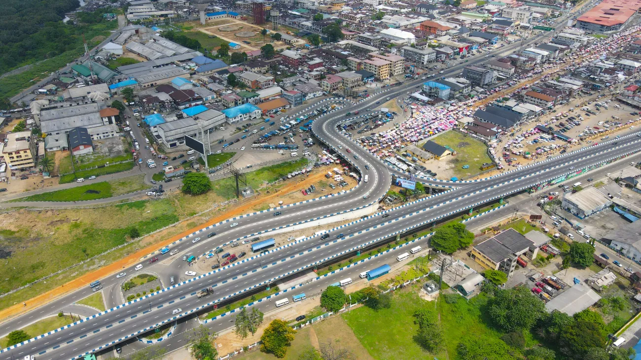
Aerial view of Mile One Market, in Port Harcourt, Nigeria.
The database includes more than one million kilometres of roads, almost 100,000 kilometres of rail lines connecting over 4,400 railway stations, 234 airports and their airline routes, 179 maritime ports, and 132 inland ports and docking sites across rivers and lakes. Crucially, it also maps how different transport modes connect to each other — for example, how roads link to ports or rail hubs — information that is often missing from existing datasets.
The study was carried out by ECI’s Silvia Colombo, Researcher; Dr Raghav Pant, Senior Researcher; Dr Fred Thomas and Tom Russell, Senior Research Software Engineers; and Prof Jim Hall, Professor of Climate and Environmental Risks and Oxford Programme for Sustainable Infrastructure Systems (OPSIS) Programme Lead; alongside Dr Jasper Verschuur, Honorary Research Associate at ECI and Assistant Professor in Engineering Systems & Climate Security at Delft University of Technology; and Dr Marcus Young, University of Southampton.
The project reflects ECI’s long-standing focus on infrastructure systems, environmental risk and resilience, particularly in low- and middle-income countries. The project was supported by the UK Foreign, Commonwealth & Development Office (FCDO) through the Climate Compatible Growth (CCG) programme.
Rather than offering a single policy recommendation, AfTS-Db is designed as a foundational research resource. It enables others — including governments, development banks, humanitarian organisations and academic researchers — to carry out their own analyses and decision-making. Potential applications range from assessing the vulnerability of transport networks to flooding or heatwaves, to planning more efficient trade routes, improving access to healthcare, or understanding how transport connectivity shapes economic opportunity.
Silvia Colombo said:
Transport networks are fundamental to economic development and social inclusion in Africa. The AfTS-Db provides an open dataset that researchers, governments and businesses can use to plan for the future.”
Prof Hall added:
The AfTS-Db is the latest step in our research groups’ journey to provide comprehensive analysis of infrastructure networks across the entire globe.”
The dataset and associated code are fully open source. The transport networks can be downloaded from Zenodo and used with standard GIS software or coding tools, while the data processing and cleaning code is available through public GitHub repositories. By making both the data and methods openly available, the team aims to encourage reuse, transparency and future updates as new information becomes available.
While published as a data descriptor rather than a traditional research article, the paper represents a significant research infrastructure achievement. Data papers in Scientific Data undergo full peer review and are intended to support long-term, high-impact reuse across multiple disciplines.
By providing a clear, consistent picture of how transport systems operate across Africa — and how different modes depend on each other — AfTS-Db offers a powerful new tool for understanding connectivity, resilience and development at a continental scale.
Read the full paper in Scientific Data: The African Transport Systems Database - a geospatial database of multi-modal connected networks