

A new review led by Dr Jesús Aguirre-Gutiérrez at the Environmental Change Institute shows how rapidly advancing satellite technology is reshaping the way biodiversity and ecosystem health can be monitored at global scales — while also highlighting important limitations that mean field data remain essential.
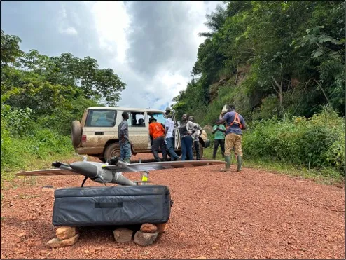
Published in Nature Reviews Biodiversity, the study brings together existing evidence on the use of remote sensing technologies, including satellites, LiDAR, radar and airborne sensors, to assess how they can support biodiversity monitoring under the Kunming–Montreal Global Biodiversity Framework (GBF).
The GBF sets out ambitious global targets to halt and reverse biodiversity loss by 2030, but countries currently face a major challenge: biodiversity is difficult to monitor consistently across large and often inaccessible regions. The authors identify this as one of the key barriers to effective reporting and implementation.
Tropical forests are highlighted as a critical focus for this challenge. They contain a disproportionate share of the world’s biodiversity, provide essential nature contributions to people, and are increasingly affected by climate change, land-use change and disturbances such as drought and fire.
The research is led by Dr Jesús Aguirre-Gutiérrez, Associate Professor and leader of the Biodiversity and Earth Observation (BioEO) group at the University of Oxford’s Environmental Change Institute (ECI).
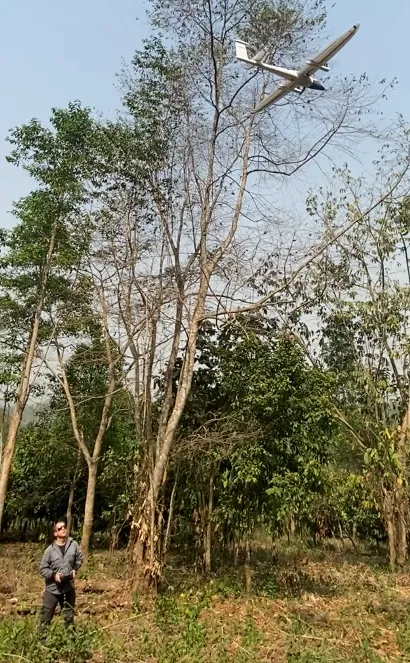
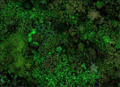
The review shows that remote sensing is becoming increasingly central to addressing this gap. Satellites can already measure aspects of forest structure, biomass, canopy traits and ecosystem function, allowing scientists to track how forests resist, recover from and adapt to environmental change — key components of ecosystem resilience.
In addition, satellite-derived data can provide indirect indicators, or “proxies”, for multiple dimensions of biodiversity, including functional and taxonomic diversity, and to a more limited extent phylogenetic and genetic diversity. These approaches are increasingly aligned with biodiversity monitoring frameworks such as Essential Biodiversity Variables (EBVs).
However, the authors emphasise that remote sensing cannot yet provide a complete picture of biodiversity. Many important dimensions — including species turnover, evolutionary history and genetic diversity — remain difficult to observe directly from space and still rely heavily on field-based ecological data.
The paper therefore argues that the most robust approach is to integrate remote sensing with field observations, rather than viewing satellites as a replacement for ground-based monitoring.
Looking ahead, the authors highlight that next-generation satellite missions and improved sensor technologies — including hyperspectral imaging, LiDAR and radar systems — are expected to significantly expand what can be observed from space in the coming years.
Dr Aguirre-Gutiérrez said:
Remote sensing is transforming how we can observe biodiversity and ecosystem change at large scales. Satellites now provide unprecedented information on forest structure and function, helping us understand how ecosystems respond to disturbance.
However, this is not a complete solution. Many dimensions of biodiversity are still difficult to observe directly from space, which is why combining satellite data with field observations remains essential. Future satellite missions will continue to expand what we can measure, but biodiversity monitoring will always depend on integrating multiple sources of evidence.”
Dr Aguirre-Gutiérrez, who is also Associate Professor and NERC Independent Research Fellowship (IRF) at Imperial College London, was joined by co-authors from the ECI Dr Isamar Cortés, Postdoctoral Researcher in the Ecosystems and Biodiversity programme, and Professor Yadvinder Malhi, Ecosystems Programme Lead and Director of the Leverhulme Centre for Nature Recovery.
The study brings together an international team of researchers spanning the UK, Mexico, USA, South Africa and Japan.
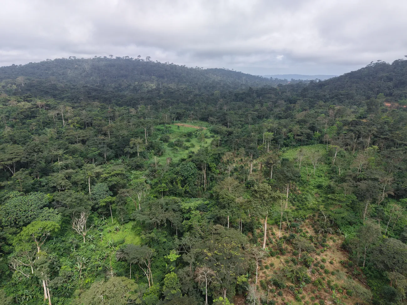
The authors conclude that while satellite technologies are rapidly improving biodiversity monitoring capabilities, delivering on global biodiversity targets such as the GBF will depend on combining remote sensing with field ecology and robust biodiversity frameworks.
Read the full study in Nature Reviews Biodiversity: Remote sensing delivers tropical forest resilience monitoring for the Global Biodiversity Framework