


This first-ever study of hydrogeomorphic hazards in Bangladesh has revealed that over 22 million people—around 13% of the country’s population—live on land undergoing rapid, water-driven landscape change such as riverbank erosion, land loss, and shifting channels. Strikingly, 86% of those exposed belong to the lowest wealth groups, highlighting a profound inequality at the intersection of climate risk, poverty, and development.
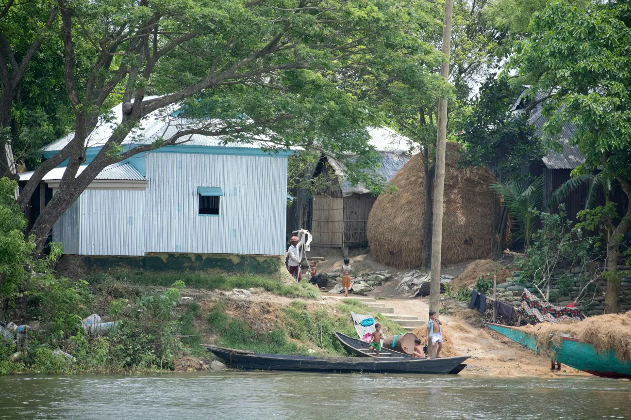
Kishoreganj, Bangladesh
The research, published in Nature Communications, shows that these hydrogeomorphic hazards—distinct from floods or storms—can permanently reshape land, destroy homes and farmland, and repeatedly displace vulnerable communities. Exposure is projected to rise further by 2050 as population pressures increase.
While flooding, cyclones, and sea-level rise in Bangladesh are well documented, this study led by Amelie Paszkowski, Honorary Research Associate at the Environmental Change Institute (ECI) and researcher with the Oxford Programme for Sustainable Infrastructure Systems (OPSIS), is the first to quantify exposure to hydrogeomorphic hazards.
Oxford-led research team uncovers hidden hazard patterns
The team’s analysis combines decades of satellite data with advanced modelling to reveal who is most affected by these shifting landscapes.
Amelie Paszkowski said:
Although erosion in Bangladesh has been assessed before, there was no national depiction of where erosion and other hydrogeomorphic hazards intersect with dense populations. We were able to fill this gap using only openly available data and models — meaning this approach can be reproduced anywhere.”
Using 35 years of satellite data and high-resolution hydrogeomorphic modelling, the team mapped where Bangladesh’s land surface has changed most dramatically—and who is living in those unstable zones. They found that the poorest households are twice as likely as wealthier groups to reside in areas at risk from these long-term landscape shifts.
Unlike floods, where people can often return once waters recede, hydrogeomorphic changes can erase land permanently, leaving families without homes, farmland, or viable places to relocate. This chronic, under-recognised hazard has long-term impacts on food security, livelihoods, education, and debt.
Amelie Paszkowski explains that incorporating these hazards into Bangladesh’s climate adaptation and development planning is essential: “People are not just recovering from water—they are losing the ground beneath them.”
Co-author, Professor Jim Hall, who leads OPSIS, emphasised the broader implications:
This research highlights risk patterns that have been hidden in plain sight. The risks of geomorphic changes are not well understood, but in highly dynamic rivers that flow through densely populated deltas, the impact on people, particularly the most vulnerable, can be very harmful. Hydrogeomorphic hazards must be part of disaster risk management and poverty alleviation strategies.”
With exposure expected to rise by up to 29% by 2050, the authors call for:
- stronger social protection for communities in unstable regions
- flexible infrastructure that accounts for long-term landscape change
- planning strategies that recognise where permanent land loss is likely
- targeted interventions for the poorest, who face the greatest risks
Read the full study in Nature Communications: Disparities in exposure to hydrogeomorphic hazards in Bangladesh