
A new tool is now freely available to engineers, planners, and policymakers looking to protect coastlines from erosion and flooding.
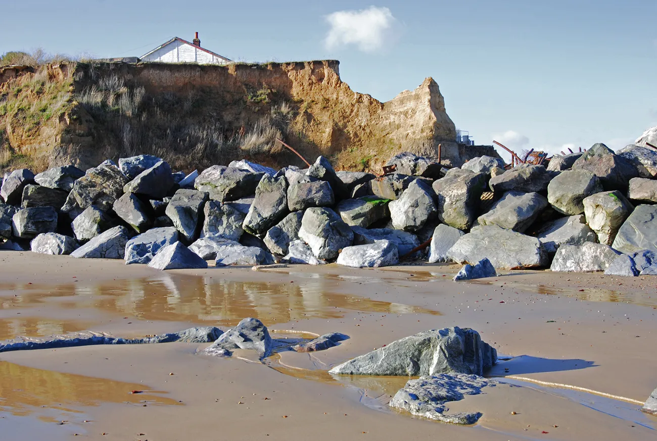
Boulders used as sea defences at Happisburgh, Norfolk
Improving our ability to predict how coastlines will change is an essential part of quantifying risks from coastal erosion and flooding.
Coastal Modelling Environment, (CoastalME), was created by the Environmental Change Institute (ECI) in partnership with the British Geological Survey and the University of Southampton and marks a significant step forward in understanding and managing coastal risks. By allowing users to simulate how coastlines respond to both natural forces and human interventions, the tool offers unprecedented capability to visualise coastal changes and plan adaptive, nature-based solutions.
Professor Jim Hall, the Oxford Programme for Sustainable Infrastructure Systems (OPSIS) programme lead, and Professor of Climate and Environmental Risk at the ECI, said:
Making CoastalME openly accessible is a transformative step. We’re removing barriers so that communities, researchers, and practitioners anywhere in the world can make informed decisions about their coastlines, regardless of resources.
Our aim was to make high-quality coastal modelling accessible to everyone. With rising sea levels and more frequent storms, it’s crucial that coastal adaptation planning isn’t limited by access to expensive tools or specialist data."
ECI researchers were instrumental in shaping the tool’s user-friendly design, ensuring that CoastalME translates complex environmental data into actionable insights. CoastalME was co-written by Dr David Favis-Mortlock, former ECI researcher and Senior Visiting Research Associate (VRA) at the ECI, and now VRA at the British Geological Survey.
The tool uses readily available spatial data, making it accessible to a wide range of users, from local councils to international climate resilience teams. In East Anglia, it’s being used in the Resilient Coasts project funded by the government flood and coastal resilience innovation programme. The project is testing new ways to treat coastal sediment as a valuable resource. By measuring how much sediment is naturally released through erosion, the project is looking at how this material can be reused to help defend the coast.
The tool is also showing its flexibility in Andalusia, Spain, where it’s helping to map sediment thickness along the region’s 1,200 km coastline for the first time. This work combines different public data sources to better understand and manage how sediment moves, especially during heavy rains when dry riverbeds, called ‘ramblas’, carry large amounts of sediment to the coast.
CoastalME was recently named as a case study as part of the Government’s Flood and Coastal Erosion Risk Management Research and Development Programme.
Prof Hall added:
What makes CoastalME so exciting is its flexibility. It works across different coastal environments, from gravel beaches to sediment-starved cliffs, and it helps to visualise scenarios that were previously hard to model. That empowers better, more creative adaptation strategies."
CoastalME’s development has been underpinned by over a decade of research, including the NERC iCOAST project and subsequent initiatives such as BLUEcoast, CHAMFER, and the UKGravelBarriers project. Throughout this journey, ECI’s climate risk expertise has ensured that the tool responds directly to the urgent needs of coastal decision-makers.
Dr. Andres Payo Garcia, Head of Coasts & Estuaries at the British Geological Survey, said: “After years of developing CoastalME, we are pleased to see that it’s now been officially released and is now freely available to support coastal engineers and decision makers to better assess the risk of compound flooding and erosion more accurately than ever before.”
As sea levels rise and extreme weather events intensify, tools like CoastalME, underpinned by the ECI’s commitment to climate research, are essential for safeguarding communities and ecosystems along vulnerable coastlines worldwide.